Posted: Wednesday, December 10, 2014 9:42 pm | Updated: 9:44 pm, Wed Dec 10, 2014.
By Kate Irish Collins kcollins@keepmecurrent.com
SCARBOROUUGH – It’s been at least seven years since town leaders in Scarborough first began talking about making Oak Hill more walkable.
Now, the town’s Ad Hoc Transportation Committee is hoping to get the final designs for upgrading the intersection by enhancing crosswalks and making changes to better address pedestrian and motorist safety in early 2015.
In a memo sent to the Town Council recently, the committee said its goal is to get the final engineering plan in February and then put the project out to bid in either late February or early March, with a completion date of mid-June.
Town Planner Dan Bacon said this week that $300,000 collected through the assessment of impact fees on development projects in Oak Hill will be used to pay for the improvements, which include new crosswalk striping and the construction of “pedestrian refugee islands.”
The other elements of the project include installing new pedestrian signals that would prohibit right-hand turns when the button is pushed, increased lighting, construction of a sidewalk and the narrowing of the entrance to the Citgo station along Black Point Road.
The project also calls for the elimination of the right-hand turn lane heading southbound on U.S. Route 1 and the construction of a rumble strip in the left-hand turn lane heading northbound on Route 1. The goal of the rumble strip is to lessen the number of car accidents happening at the intersection of Route 1 and Fairfield Road, near the fire station.
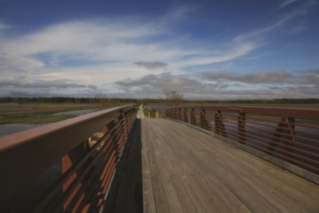
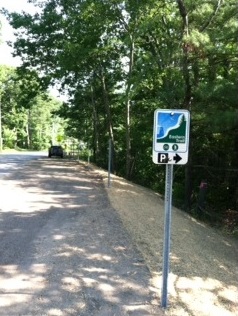
This project will complement work that’s already been done, including the construction of a sidewalk along Black Point Road to connect the Eastern Trail to Oak Hill, a flashing crosswalk sign at the intersection of the Eastern Trail and Black Point Road, the installation of sidewalks and crosswalks between Route 1 and Hannaford Drive and traffic-calming islands and crosswalk improvements at the intersection of Hannaford Drive and Gorham Road.
In addition, the Transportation Committee said, the town has secured another $440,000 in funding from the Maine Department of Transportation, under its Safe Routes to School program, to expand the current sidewalk network in Oak Hill from the school campus up Gorham Road to Sawyer Road and to the Oak Hill Plaza.
The Transportation Committee was established by the Town Council in 2012 to work on pedestrian and safety improvements in and around Oak Hill. However, construction on those upgrades was put off while the town dealt with other road projects, including the reconstruction in Dunstan Corner and on Pleasant Hill Road.
Read the entire article online here


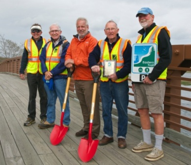
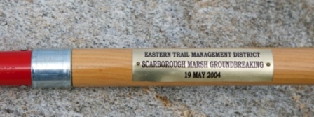
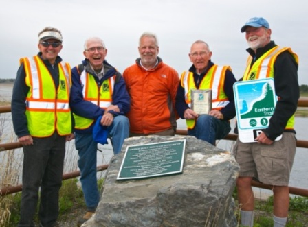
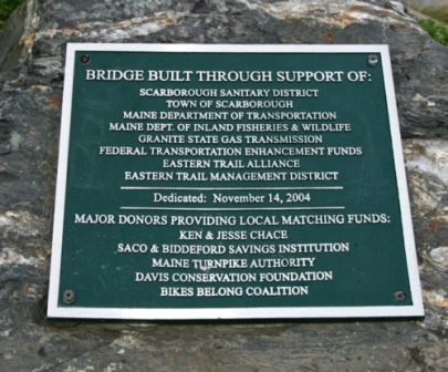
") Officials from the Eastern Trail Management District have long dreamed of a time when a bicyclist, runner or walker could continuously travel off-road from the Piscataqua River in Kittery to Casco Bay in South Portland. Now, thanks to funding from the Portland Area Comprehensive Transportation System (PACTS), that dream is a little bit closer to happening.
Officials from the Eastern Trail Management District have long dreamed of a time when a bicyclist, runner or walker could continuously travel off-road from the Piscataqua River in Kittery to Casco Bay in South Portland. Now, thanks to funding from the Portland Area Comprehensive Transportation System (PACTS), that dream is a little bit closer to happening. Nearly 20 years of expansion has proven successful, and more is on the way.
 Not bad for an idea formed less than two decades ago.